The Northern School of Permaculture
You are here
Incredible Farm (Location)
Public transport
Get to Todmorden or Hebden Bridge (rail or bus). Contact us before your journey to see if a lift will be available to site.
Directions for drivers and cyclists
There is a local map below (showing precise location of the farm and where to park) and this Google Map will allow you to zoom in and out of the area for your journey planning.
Head for the hamlet of Lumbutts. This sits up the hill in open country on the south side of the Upper Calder Valley, below Stoodely Pike. (The monument on Stoodley gives a good landmark.) The Youth Hostel at Mankinholes is also nearby.
Lumbutts is on the Todmorden side of Stoodley. The postcode is OL14 6JA, but don't rely on SatNav read the directions on this page. The local roads are country lanes, sometimes hilly, with some sharp turns. Note that the drive is easier from Wallsden (Todmorden). The routes from both Tod and from Hebden can be found below this picture.
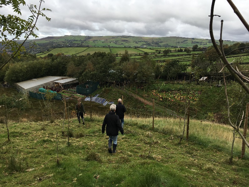
On the Farm looking North over the trees by Methodist Chapel and out to the Upper Calder Valley. (Stoodley Pike is to the right of this picture.)
Directions from Hebden Bridge
(traveling from Halifax and The Republic of Yorkshire)
Go along the main road in the valley bottom towards Todmorden. There will be a turn to the left over the canal signposted to Lumbutts and Mankinholes. This road starts very steep and there is a vicious right turn up in Shaw Woods, you have to take this to get through Mankinholes and past the Youth Hostel. Then the road opens out and you should see the historic United Methodist Chapel across the fields to your right. Stop at the chapel, don't go down the hill into Lumbutts. Follow instructions for "Parking Up" (see below).
From Todmorden/Wallsden
(Traveling from Rochdale, Burnley and The County Palatine of Lancashire.)
From the Rochdale Road, get onto the road to Lumbutts which rises up into open country. The monument on Stoodley should be clearly visible ahead, Pass the Shepherds Cross Inn on your left. A short while after, you will go down into a dip and go past the access road to the Top Brink Inn on your left. Slow down and look out for the historic United Methodist Chapel on your left as you come round the next bend.
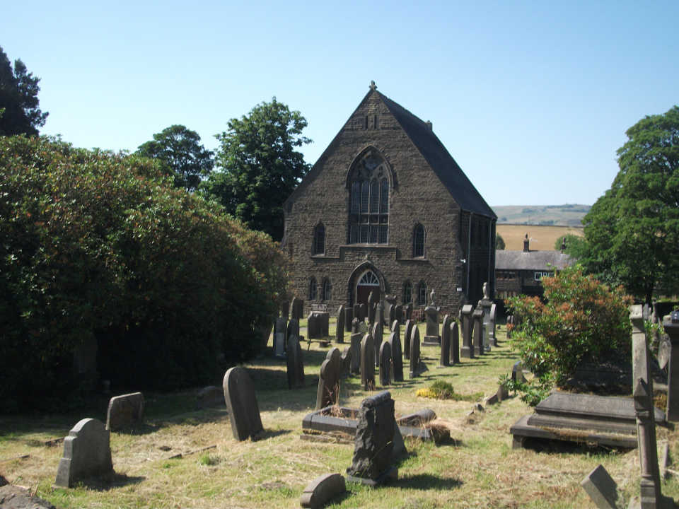
Meet up at the gate to Lumbutts Methodist Chapel
Parking Up
Park cars at the roadside near the front of the chapel - see orange marker on map below.
We recommend that we gather together in front of the chapel gate at least five minutes before we are due at the Farm, then we can walk there together.
We walk along the lane opposite the chapel (it soon turns into a rough track). Go on round a slight bend and go along with a bank (up to a lake) on your right. After a hundred yards (metres) or so you will reach the Farm gate on your right - see big blue marker on map above.
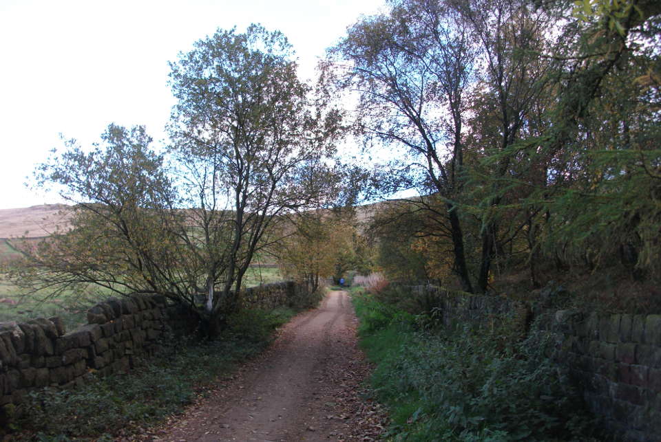
Walking the track up to the Farm gate.
Location
Theme by Danetsoft and Danang Probo Sayekti inspired by Maksimer